Geographical location
Hamedan province has an area of 19493 square kilometers, at west of Iran in 33 degrees and 59 minutes to 35 degrees and 48 minutes north latitude and 47 degrees 34 minutes to 49 degrees and 36 minutes Eastern longitude. The province is limited to Zanjan and Qazvin provinces from the north, Lorestan province from the south, Markazi province from the east, and to Kermanshah and parts of Kurdistan provinces from the west.
Terrain
The province terrain has undergone many changes during geological periods. One of the factors for terrain changes in the province is flowing waters which in some areas, with destruction of heights and accumulation of materials in the holes, have reduced the height of the mountains and formed several plains. In some areas, the intensity of the flowing waters is so large that they have reversed the form of terrains, for example, the mountain has become a valley or the deep valley of past periods has now become a mountain. Khan Gormaz Mountain in the west of Tuyserkan is an interesting example of this phenomenon.
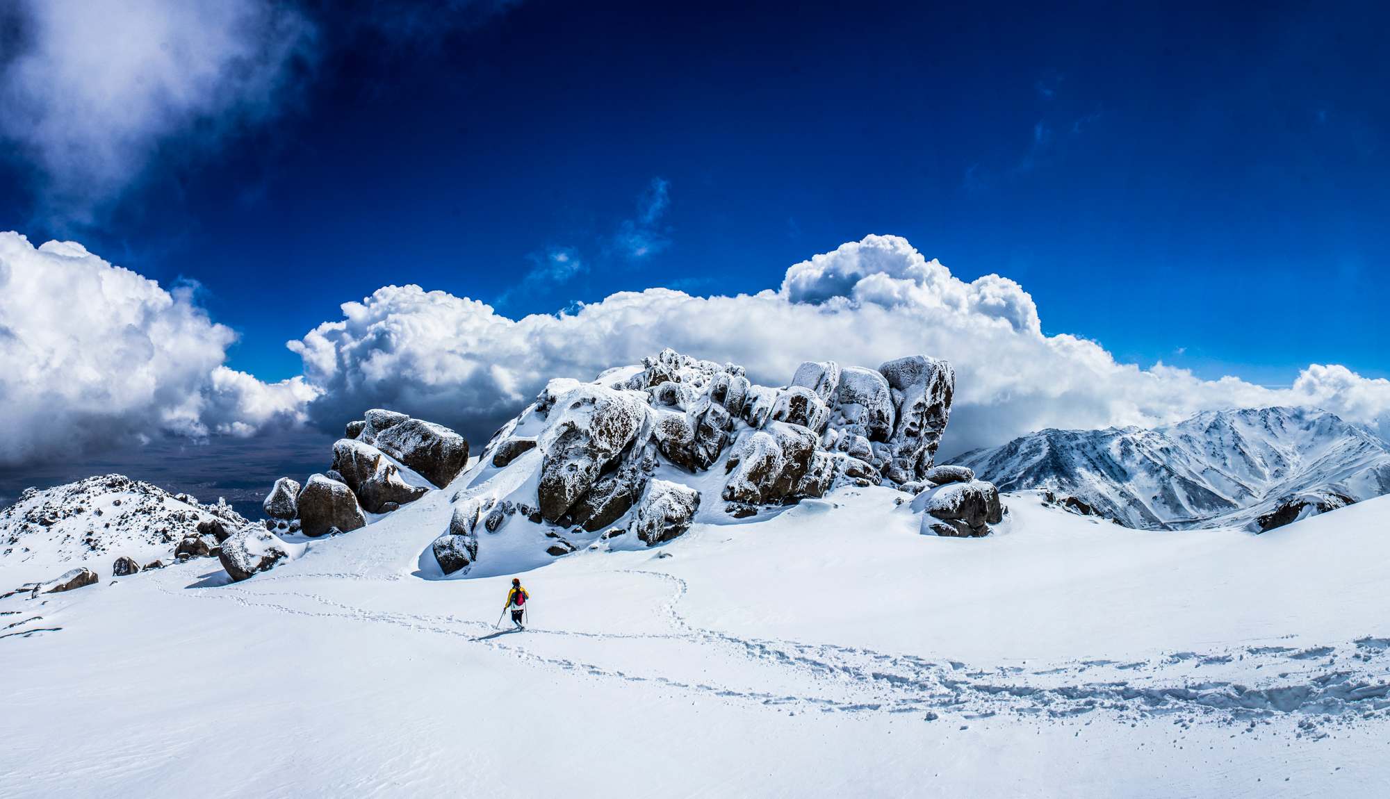
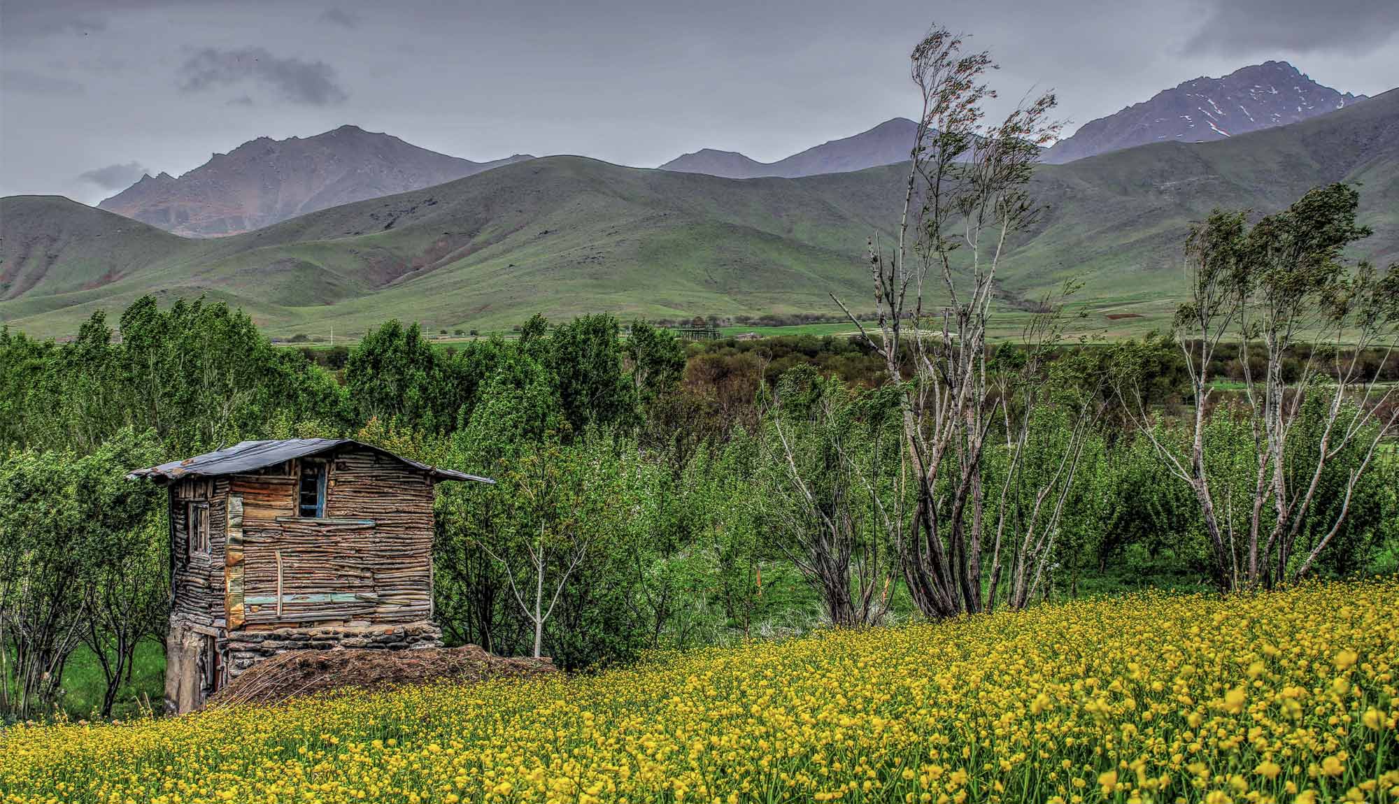
Heights
The province heights are generally in northwest and south-east parts, and are generally located in the north, center, and south of it. Each of these heights includes parts of Iran mountains. Northern heights- central height. Alvand summit with a height of 3574 meters is located in these mountain range in north-middle heights.
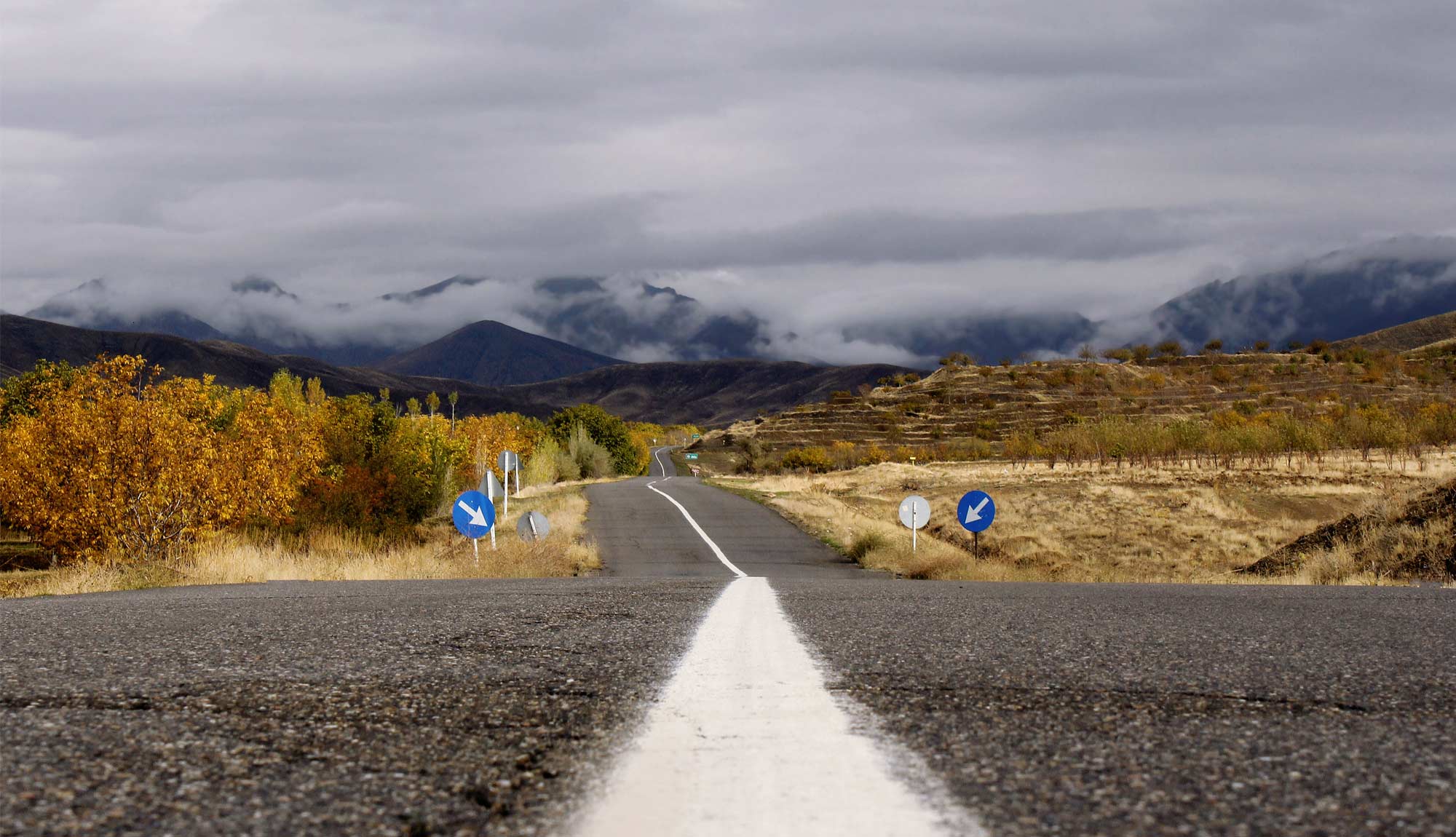
Plains
The plains of the province in terms of formation is divided into two types: condensational and erosional.
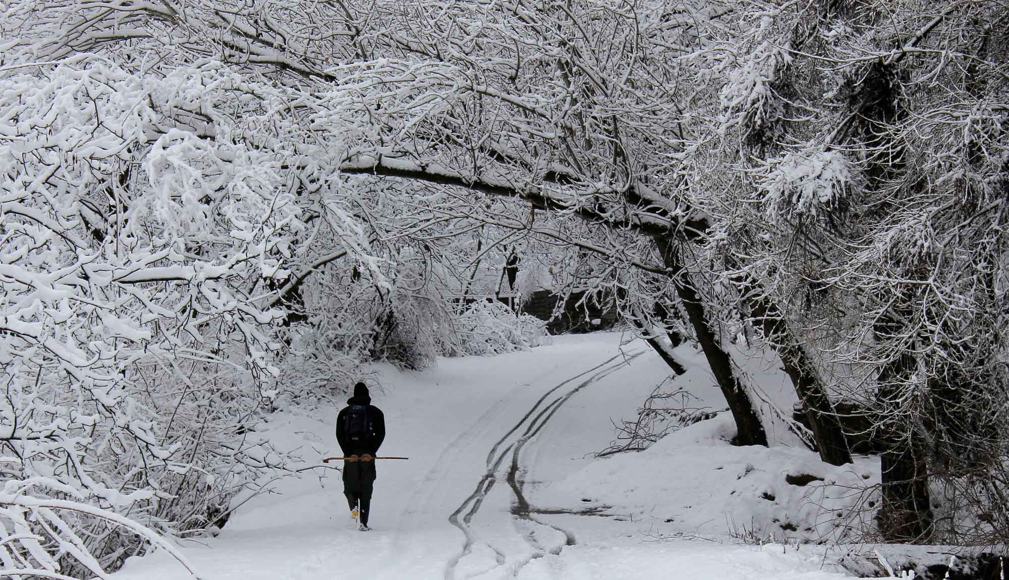
Weather
The province climate is generally affected by latitude, altitude, location, mountain range and distance from the sea. The displacement of air masses plays an important role in the type of climate of each region. Air masses affecting the province climate include:
Northern air mass: In the cold months this air mass flows from the northern latitudes of the country, affecting the province weather, and decreases its temperature.
Southern air mass: In the warm months of year, this air mass flows through the southern latitudes of the country, affects the province, and increases the temperature and decreases precipitation.
Western air masses: These masses enter the country during the wet months (November to June) from the west, southwest and northwest, and increase the temperature and precipitation across the province.
In general, due to the presence of high mountains, numerous and large rivers and springs, the province climate is very diverse. So for example, the north valleys of Alvand Mountains are cold and the central valleys are mild. The winters of the province are cold, snowy and rainy, and its summers are Moderate.
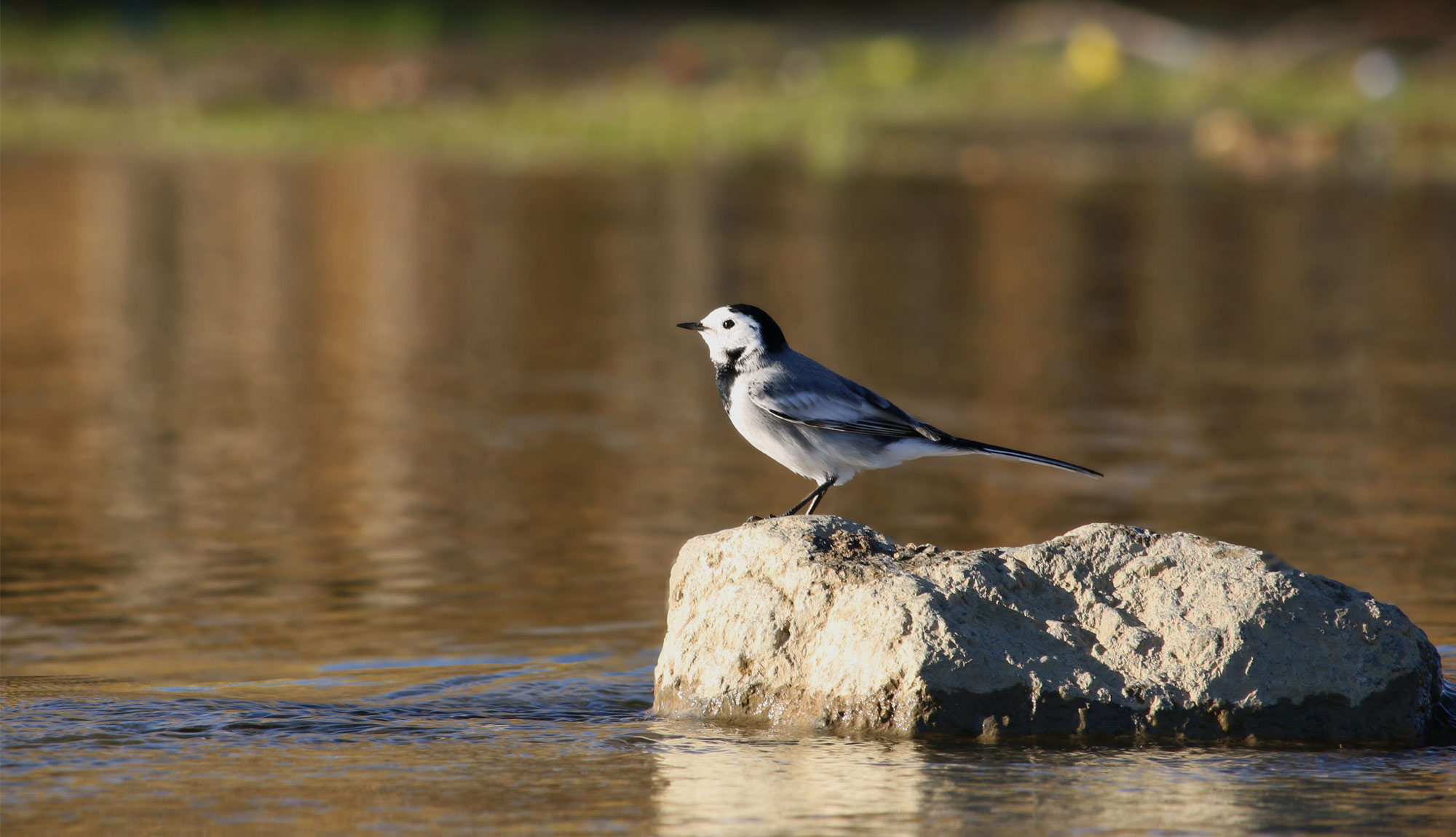
Rivers
The rivers of the province are generally fed by rains and snows of the wet seasons and in summers, when plants need water, except one or two rivers such as Gamasiab and Siminehrud, all are dried or have minimum amount of water. The most important rivers of the province include: Siminehrud - Ghare Chay - Wideh Lo - Vafrajin - Valley of Muradbig - Simin - Abbas Abad - Khakoo - Sarabi - Khorram rud - Malayer Haram Rud - Gamasiab - Karzan Rud etc.
 English
 فارسی
فارسی العربیه